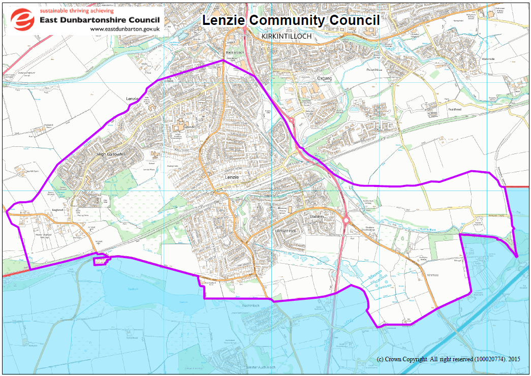
Every Community Council in East Dunbartonshire Council area has been issued with an official map of its area and you can view the Lenzie CC map on a bigger scale by clicking Lenzie CC 2015map. The boundaries of adjacent Community Councils can be found on the EDC website under ‘Maps – Planning’ and by ticking the ‘Community Council Areas’ box.
You may be surprised to find that the Lenzie area does not include any part of Woodilee Village. This change was made when local government moved to multi-member Wards in 2007. Before that time, Woodilee Hospital was shown as being entirely within the maps covering the two Lenzie Wards. After the change, the derelict site of the Hospital, from Initiative Road eastward was shown as being in Waterside Community Council area. This was not actually known by either Community Council as Community Council maps were not readily available until East Dunbartonshire Council websites became more accessible. Nevertheless, public perception was that Woodilee Village, up to Calfmuir Road at least, was part of Lenzie.
Lenzie CC has been discussing this for some considerable time with neighbouring Waterside Community Council and with East Dunbartonshire, first of all before the 2017 Community Council elections and more recently in early 2020. A point-to-point list of boundary lines has been drawn up, which is in agreement with the 2020 discussions and does not cut across post code areas, as is the case for the current boundaries. It is hoped that this list can be translated into map form for the purposes of consultation and that this will lead to the formal re-alignment of the Community Council boundaries.